Convenience
Find a public toilet nearby
Convenience helps you find public toilets, baby change rooms and other facilities across Australia, with information on more than 23,000 locations. Look nearby or search ahead before you travel.

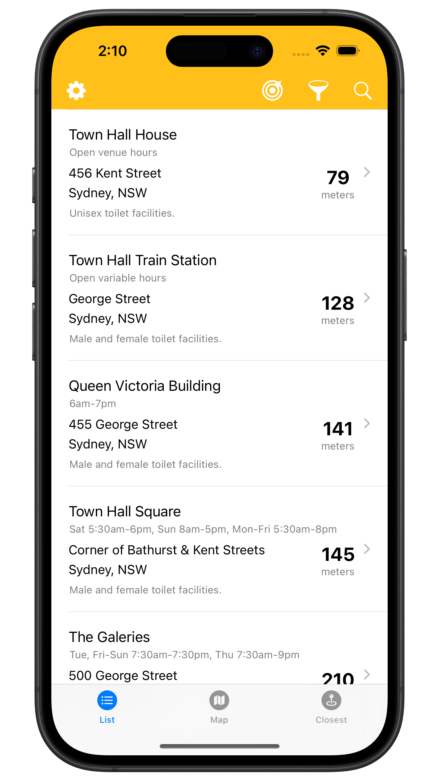
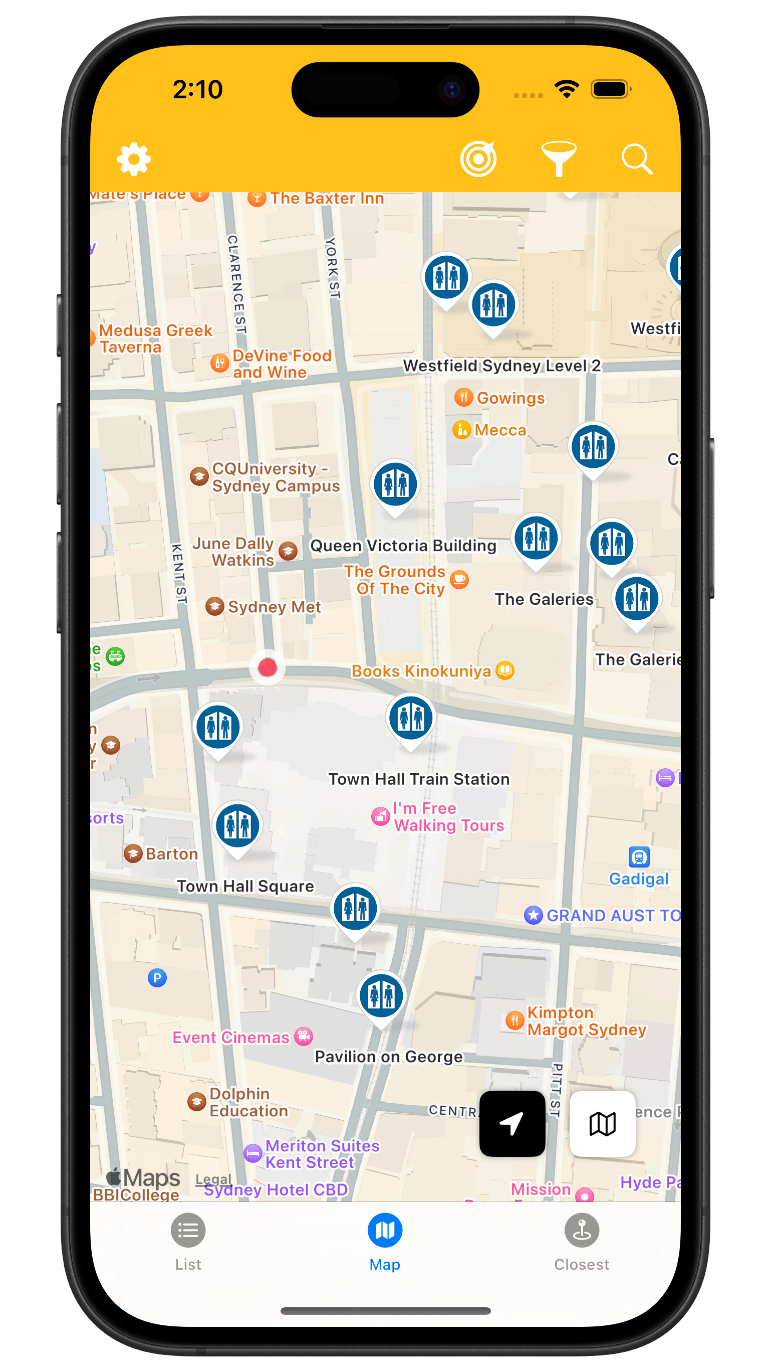
Find a facility nearby or further ahead
Find the closest toilet, or browse nearby facilities in a list with estimated distances or on a map. Search for a location or point of interest to see what's available in the area.
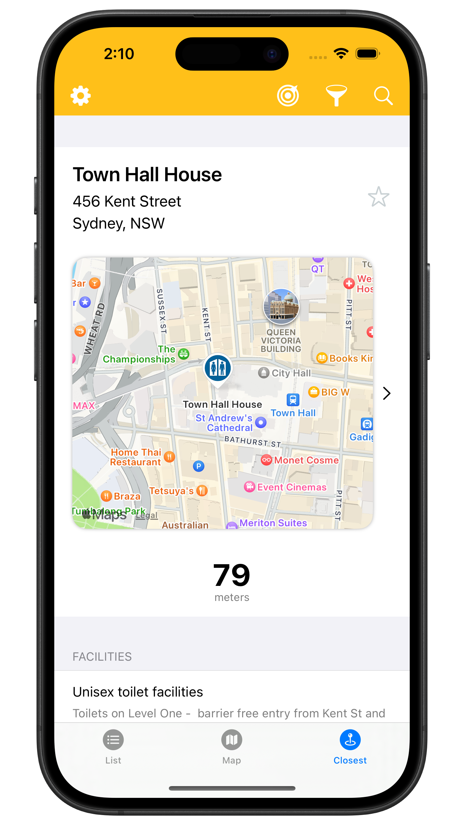
Check the details before you go
See accessibility information, MLAK and other key requirements, notes, payment requirements and parking.
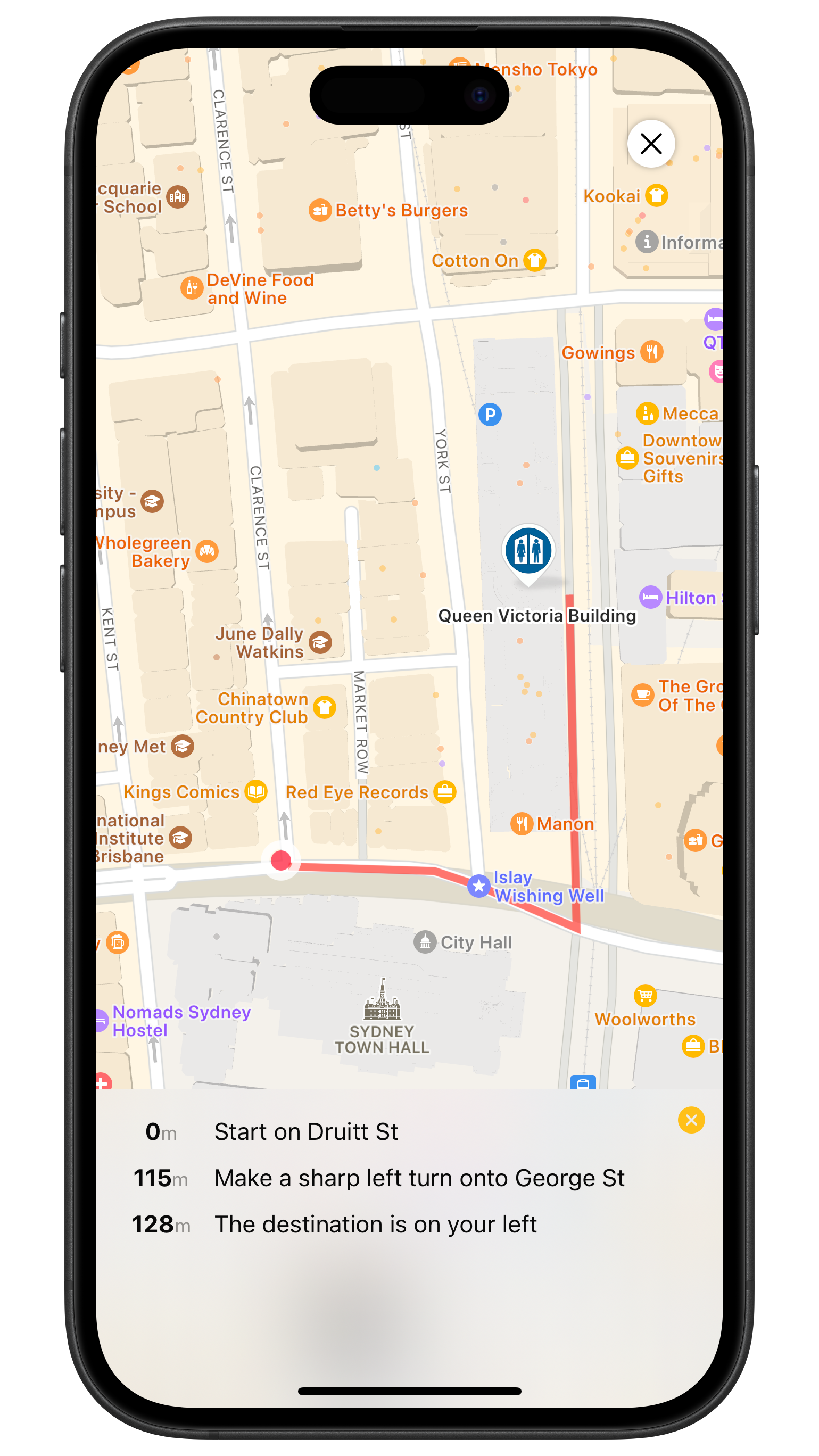
Get walking or driving directions
Open Apple Maps or Google Maps to calculate a walking or driving route to your chosen facility.
Convenience Plus
Upgrade to Convenience Plus to access all features:
- Filter facilities by type and features. Exclude those that are closed, require payment or need a key.
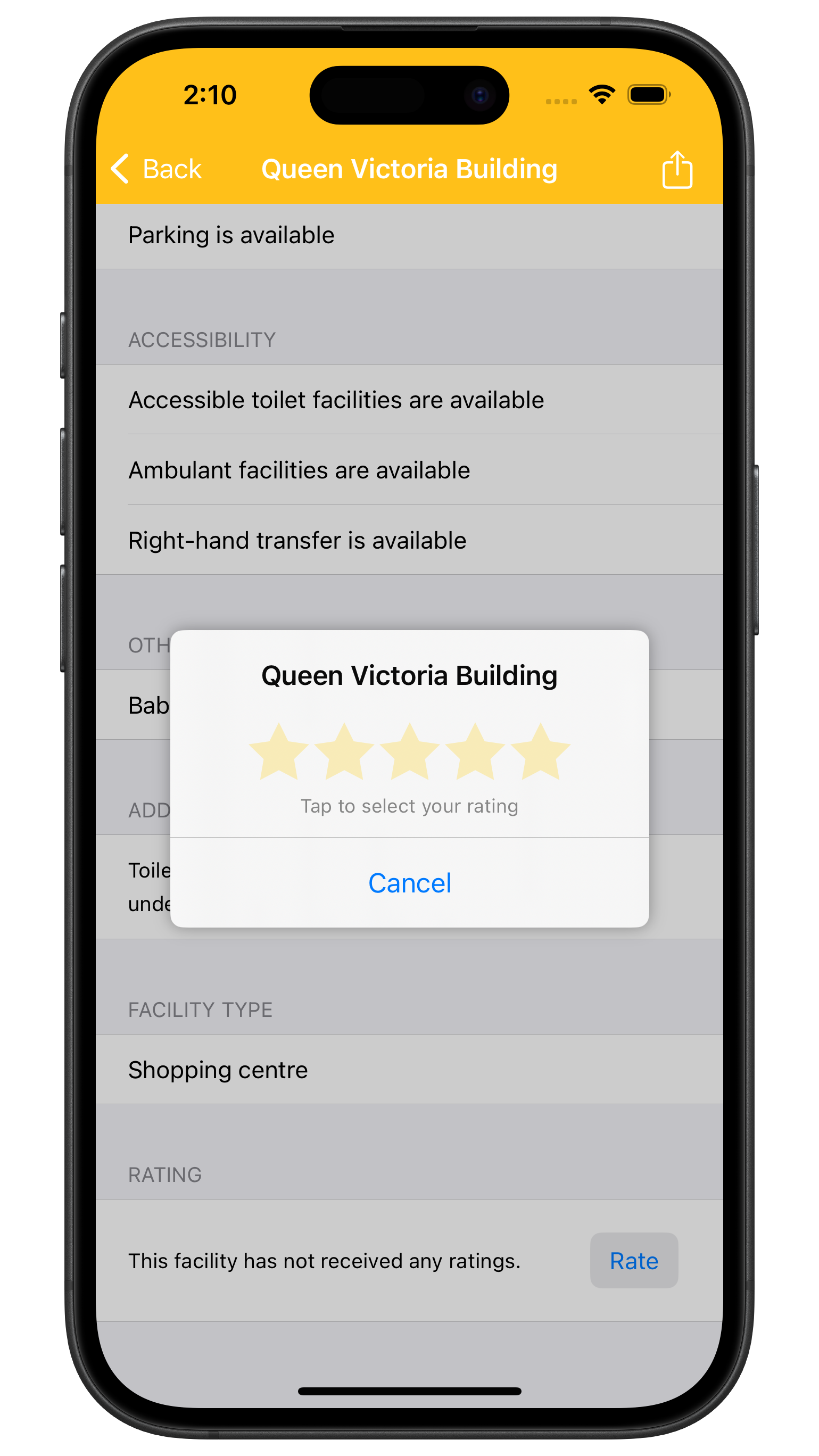
- Add ratings to help other people choose a facility.
- Find caravan and RV dump points.
- Use Travel Focus to see facilities ahead of you in your direction of travel.
- Receive notifications when you're near a facility that matches your filters, even when the app is not active.
- Automatically download the latest data when it's available.
- Choose a colour theme.
Official facility data
Convenience uses official Australian Government data that is verified and updated regularly. You can receive instant updates while you're on the move.